CitiesRide Paris, New York and any city on Earth
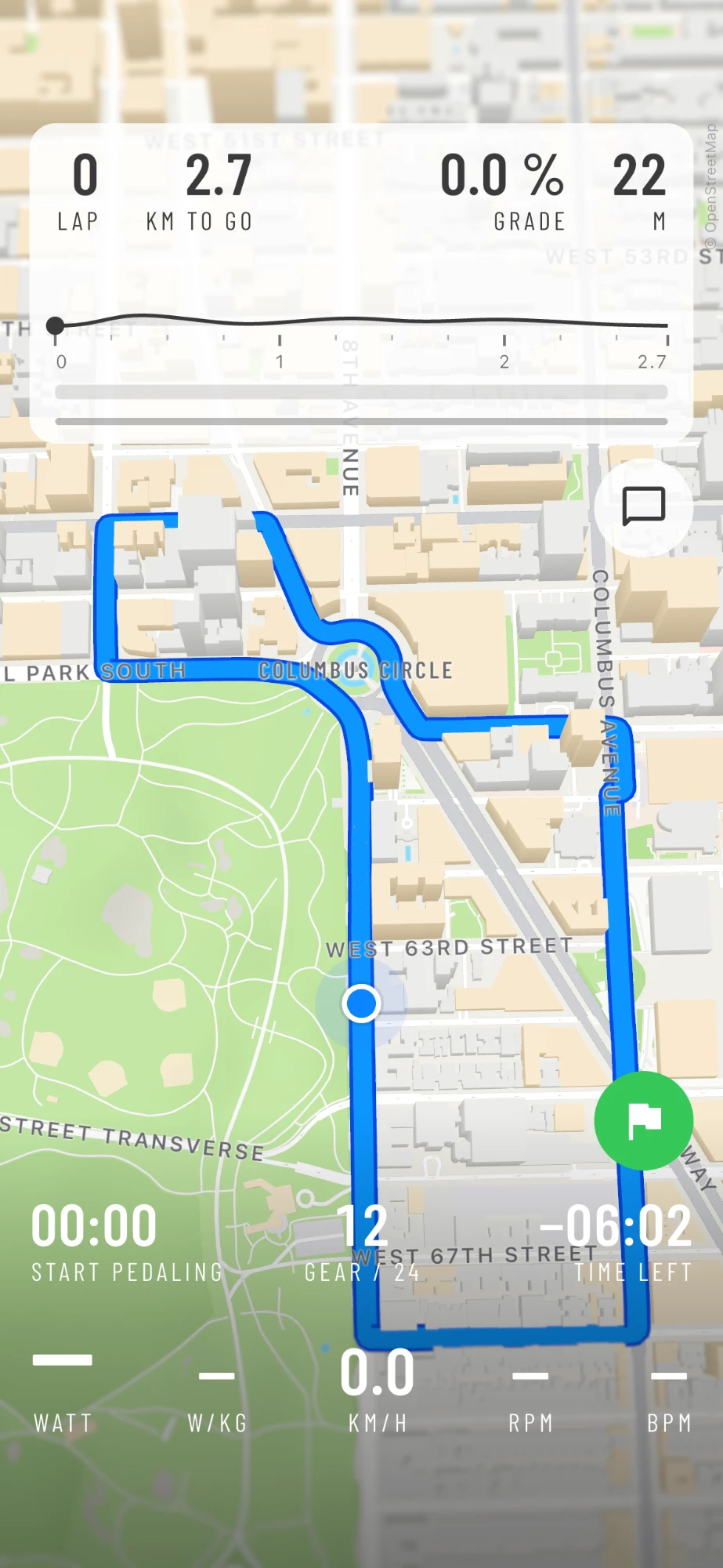
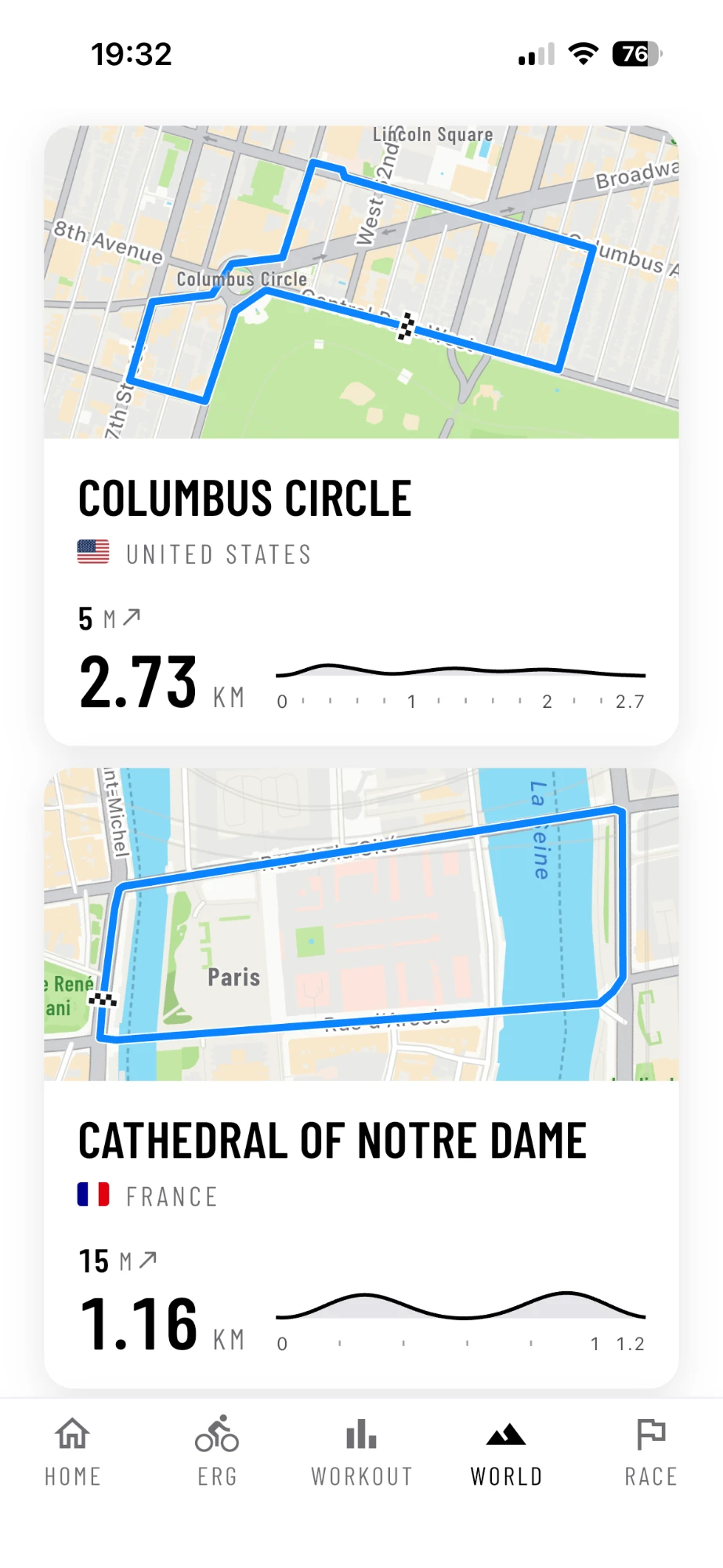
Columbus Circle
 United States
2.73
Km loop
5 m
Climb
6 min
At 70 % FTP
Tap a few points on the map, and a minute later you ride them in 3D on your smart trainer. Around Notre-Dame, past Columbus Circle, through the streets of your own town.
Any
City on Earth
1–2 min
To build a route
Loop
Or A to B
3D
Streets and houses


01Build a route
From the whole Earth to your street.
Building a route in AnyMap takes a minute. You start on the globe and zoom in, like on any map, until you see the streets. Tap where your route starts, then tap a few points along the way. AnyMap joins them on the real streets, so you don't have to follow every corner yourself.
AnyMap suggests a name from the places nearby: around Notre-Dame, it offered the cathedral, Point Zero (the spot in front of it from which France measures its road distances), Beaubourg and Paris. Then our server downloads the streets, the buildings, the woods and the heights, and builds the map. You ride it a minute or two later.
Step 1
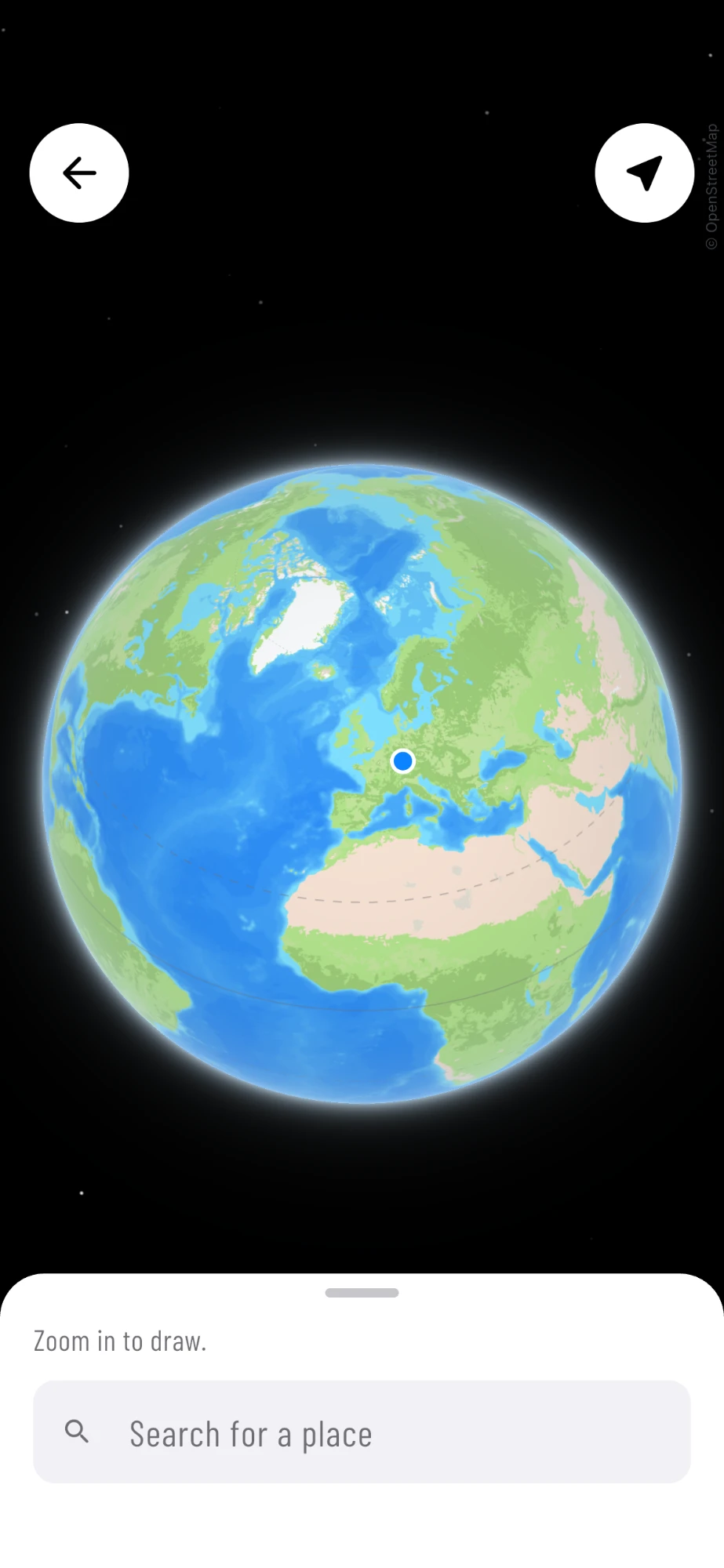
The whole Earth
The route builder opens on the globe.
Step 2
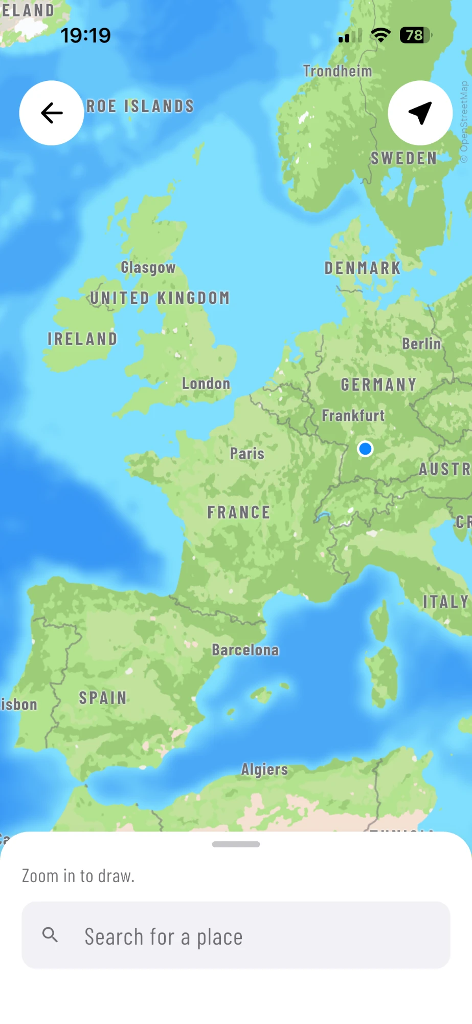
Zoom in
Pinch your way down to the continent.
Step 3
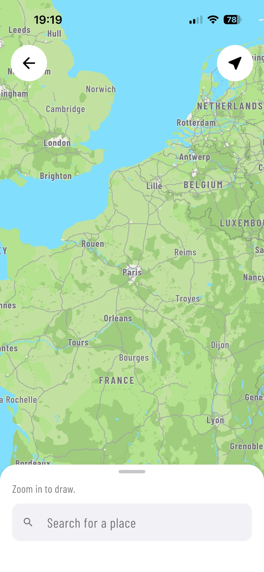
Closer
Your country, your region.
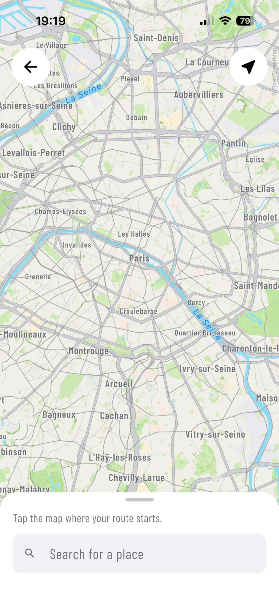
Step 4
Your city
Tap the map where your route starts.
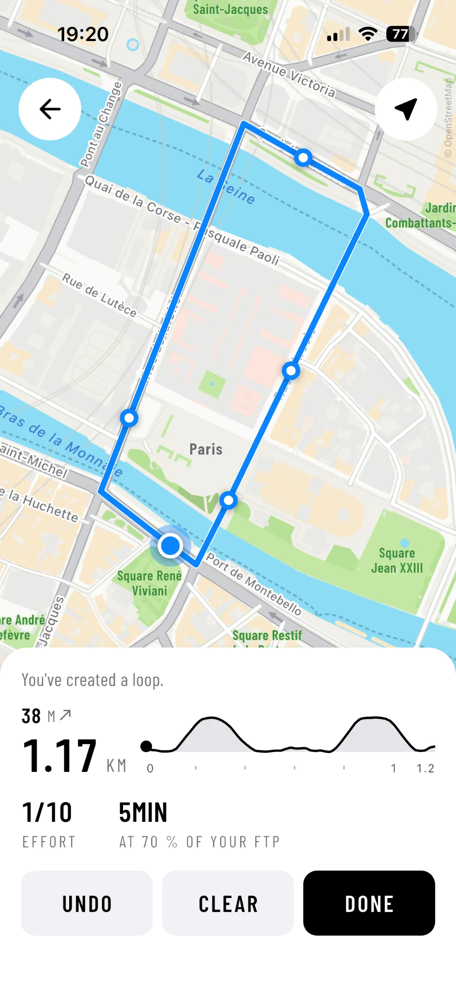
Step 5
Draw
Tap points. AnyMap joins them on the streets.
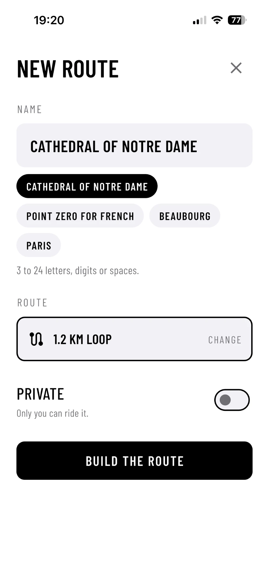
Step 6
Name it
AnyMap suggests names from the places nearby.
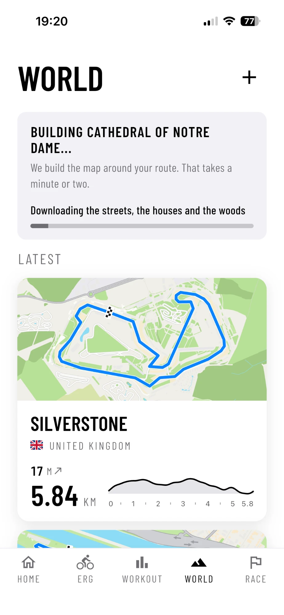
Step 7
Build
The streets, the houses, the woods and the heights.
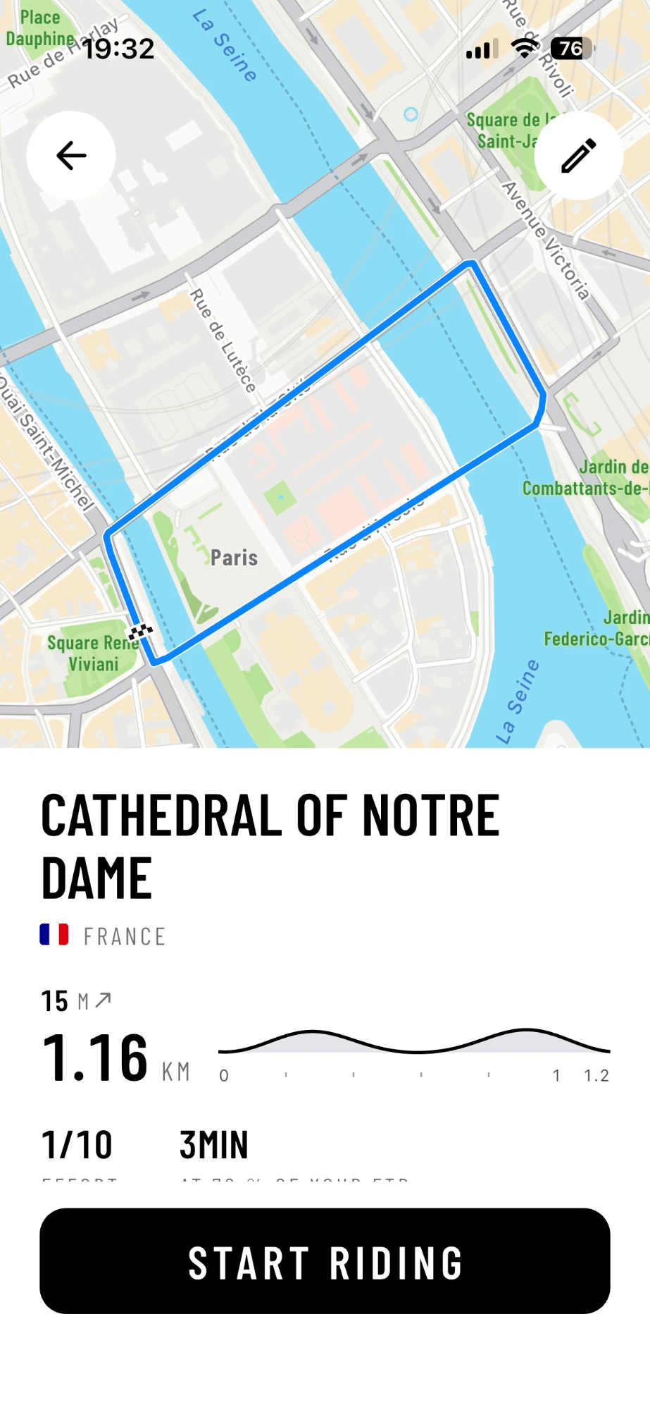
Step 8
Ready
Your route, with its profile and its time.
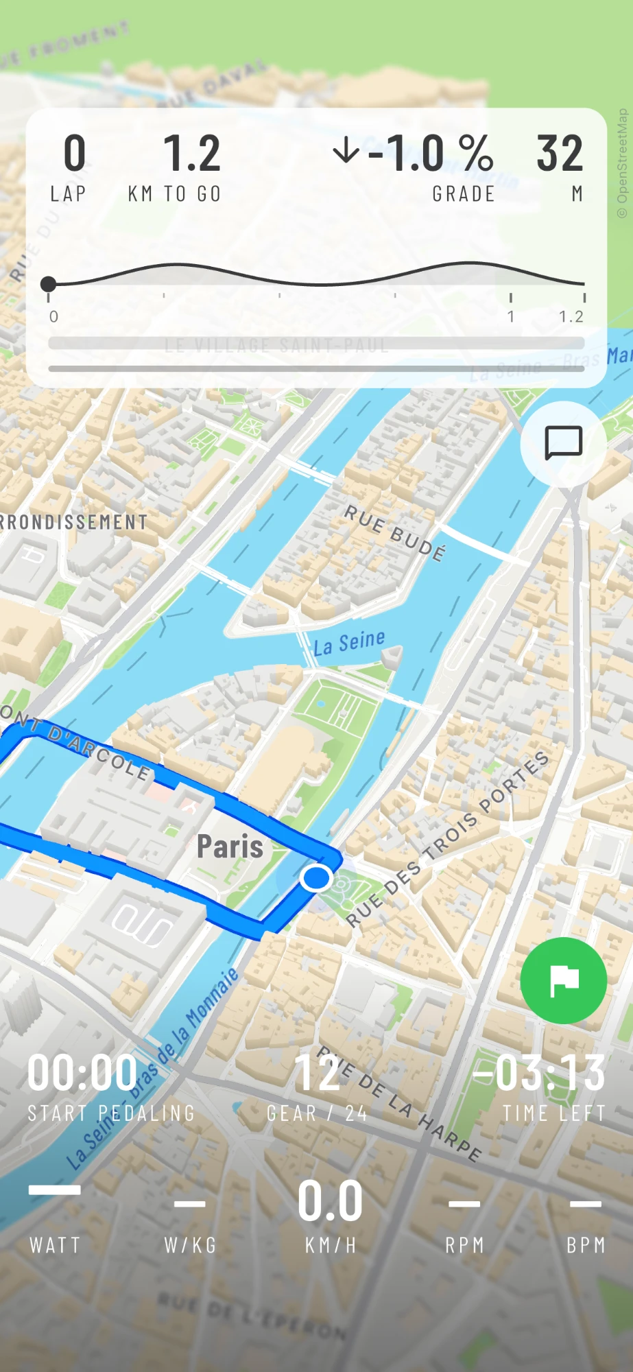
Step 9
Ride
Paris, in 3D, on your trainer.
02Paris
A lap of the Île de la Cité.
In the middle of the Seine lies the Île de la Cité, the island where Paris began, with Notre-Dame at its eastern end. Our loop goes round it: over the Petit Pont, along the Seine, across the Pont d'Arcole and back. 1.16 km, 15 m of climbing, about three minutes a lap at 70 % of your FTP.
Fifteen meters, on an island? That is the bridges. AnyMap downloads the real heights, so every bridge over the Seine is a little climb, and your trainer feels each one. Ride the loop again and again, or make it a race: short laps, lots of corners.
A loop closes when you tap the start point again. You can also draw a route from A to B: from the Eiffel Tower to the Arc de Triomphe, say. An A to B route you can also ride back the other way.
1.16 km
One lap of the island.
15 m
Of climbing, from the bridges.
3 min
A lap at 70 % of FTP.

03New York
Manhattan, your way.
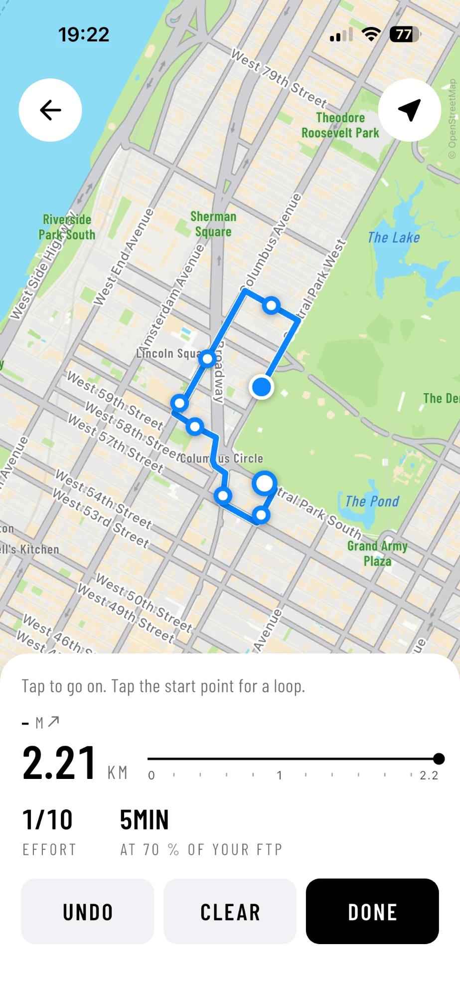
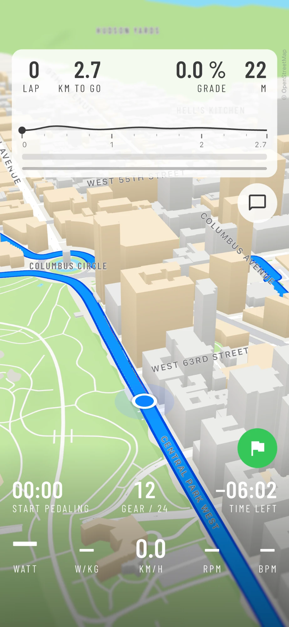
Manhattan is a grid of endless possibilities. Ride the full loop of Central Park, 9.7 km, ready in AnyMap today. Ride down Broadway, the one street that cuts across the grid. Or just tap around the map until you like what you see.
Our Columbus Circle loop starts on Central Park West, goes round the circle, up Broadway and Columbus Avenue and back along the park: 2.73 km, nearly flat, about six minutes a lap. In the 3D world, the towers of Midtown rise beside you.
Central Park
The full 9.7 km loop, ready to ride.
Broadway
The diagonal across the grid.
Your own
Tap around until you like it.
04Race the city
Think flat is easy?
Wait until you race on it. At the start, everyone sits in the bunch, on a wheel, out of the wind. At 200 watts each, the bunch rolls along at 40.9 km/h.
Then someone attacks. One moment you look at your numbers, and a rider is gone, with only 60 watts more. But out of the wind, 260 watts are worth just 37.4 km/h. Every two kilometers alone, the bunch takes back about 190 meters.
A short attack with 60 watts more opens a gap. To keep it, alone in the wind, the attacker needs about 330 watts. Get the numbers wrong, and the bunch catches them on the last meters, and beats them in the sprint.
What are you waiting for? See you on AnyMap.
Want to win that sprint? Race Ready gets you ready in six weeks.
The breakaway, in AnyMap's physics
The bunch
200 W each, on a wheel
40.9 km/h
The attack
260 W, alone in the wind
37.4 km/h
To stay away
to hold 40.9 km/h alone
330 W
For 75 kg riders on a flat road.
05Your city
Where have you always wanted to ride?
London, Melbourne, San Francisco, Tokyo, or the town you grew up in. Every city on Earth is in AnyMap, street by street. Some routes are already there: Regent's Park in London, the Champs-Élysées in Paris, Hawk Hill above the Golden Gate Bridge, Albert Park in Melbourne, Central Park in New York.
The rest is yours to draw. Which place have you always wanted to explore?
- London
- Paris
- New York
- San Francisco
- Melbourne
- Monaco
- Tokyo
- Your town
06FAQ
Before you draw.
Yes. In AnyMap you draw a route through any city on Earth, and AnyMap builds it in 3D from real map data. Ride around Notre-Dame, along the Seine, through Central Park or down Broadway, on any smart trainer with Bluetooth FTMS.
Open the route builder and zoom in to your city. Tap where your route starts, then tap a few points along the way: AnyMap joins them on the streets. Pick a name, tap BUILD THE ROUTE, and AnyMap downloads the streets, the buildings and the heights and builds the map.
A minute or two. You see the progress in the World tab while it builds, and you can draw the next route in the meantime.
Both. Tap the start point again to close a loop and ride it lap after lap. Or end somewhere else for an A to B route, and ride it back the other way too.
Yes, unless you make it private. A public route is there for every rider in AnyMap. Switch on PRIVATE when you build it, and only you can ride it.
Yes. AnyMap downloads the heights with the streets, and the grade of the road sets your trainer's resistance. Even the little loop around Notre-Dame has 15 m of climbing, from the bridges over the Seine.
→More training plans